For drone pilots · Kentucky
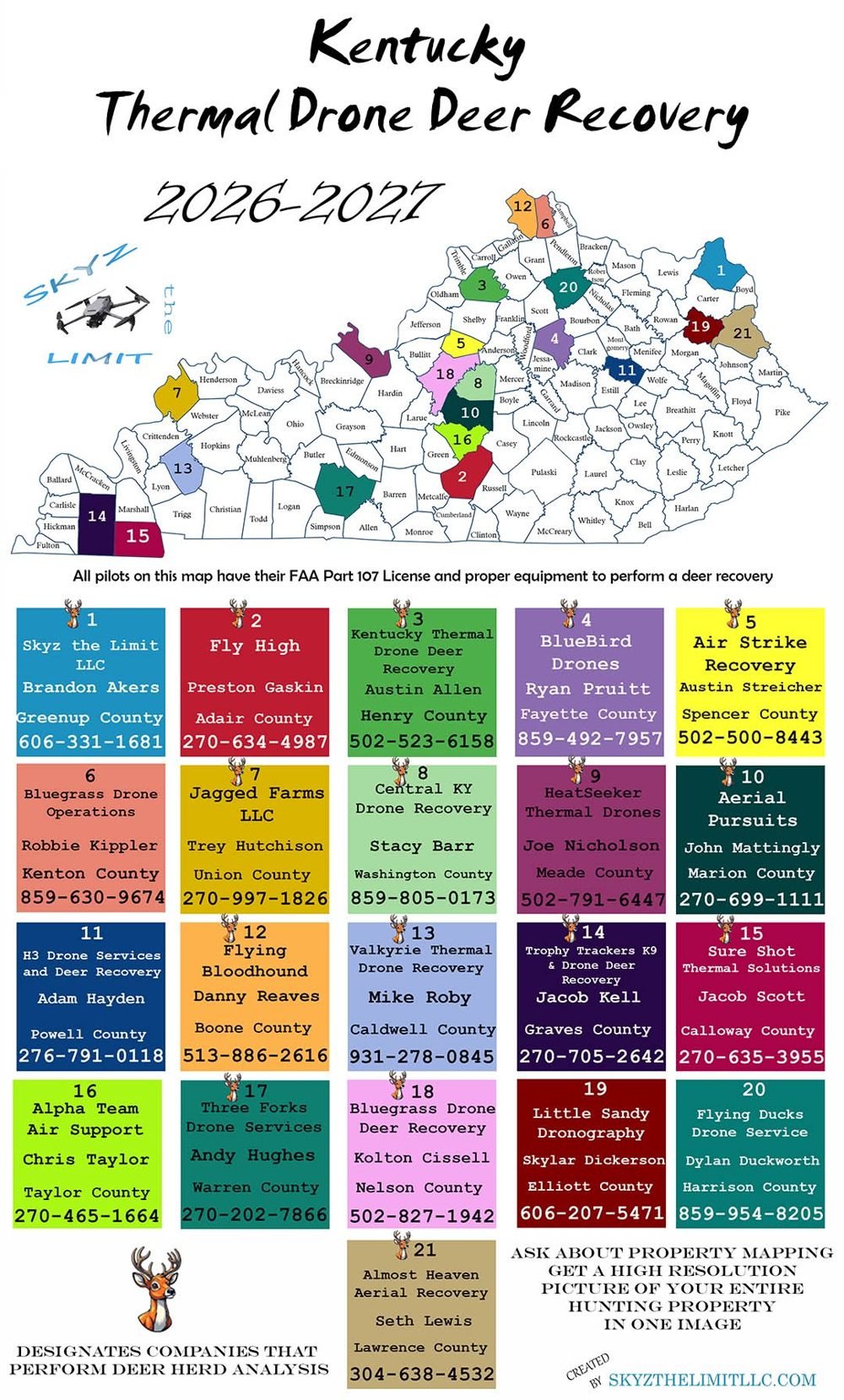
Kentucky Thermal Drone Deer Recovery Map
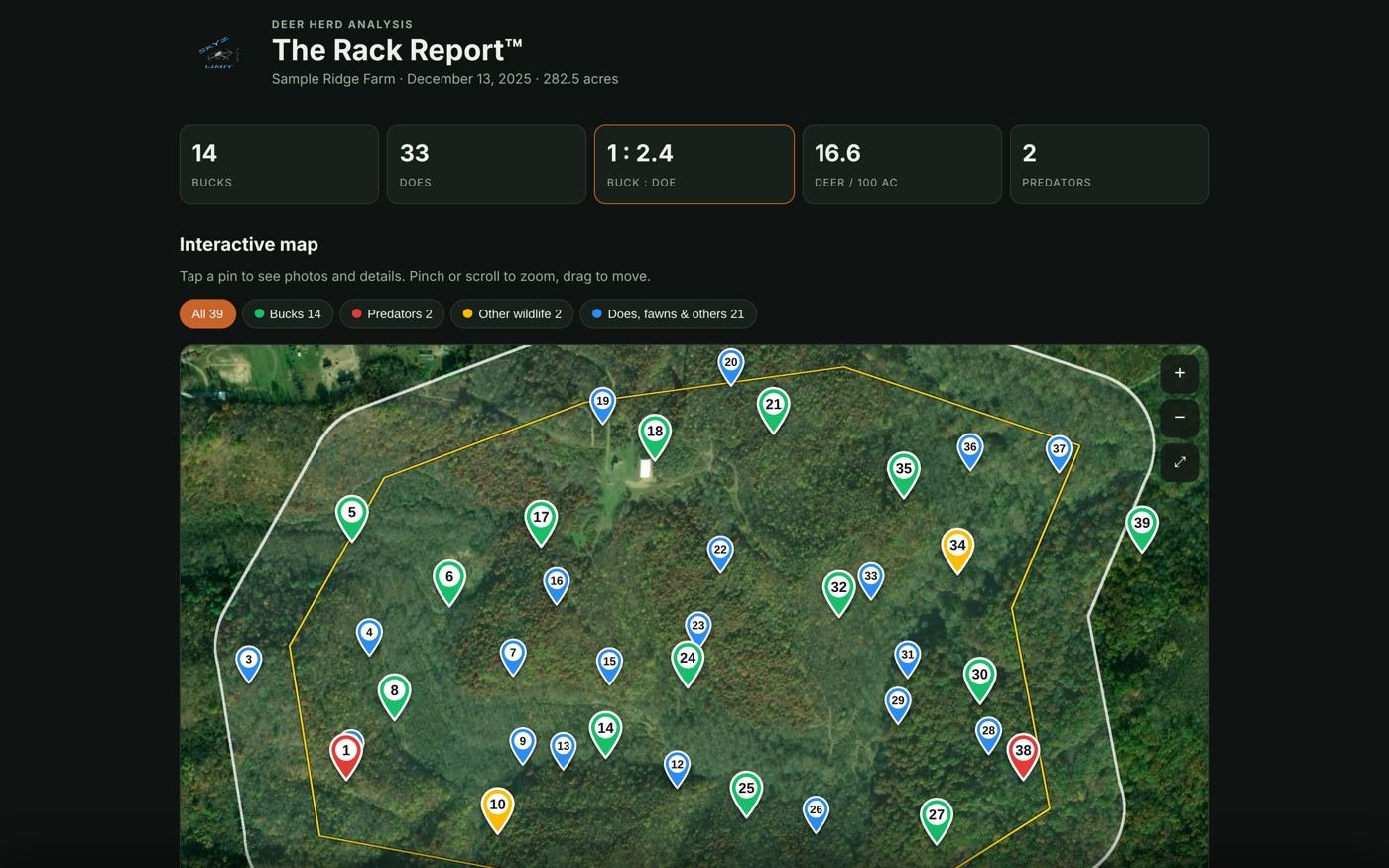
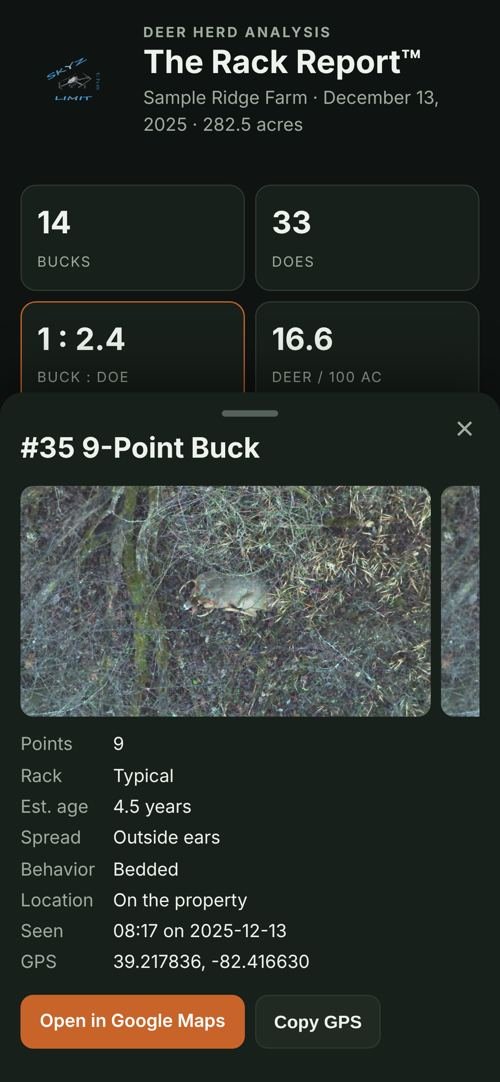
Each hunting season we publish a map of verified thermal drone pilots across Kentucky, so hunters can call a licensed, properly equipped local pilot instead of an unlicensed, under-equipped flyer who doesn’t know what they’re doing, or worse, a scammer in the comments. Every pilot on the 2026–2027 map has an FAA Part 107 license and the right thermal equipment, and pilots who also do deer herd analysis are marked.
Want on the 2027–2028 map?
Message us with your business name, county, phone number, a photo of your thermal drone and your Part 107 certificate. We verify every pilot before the map goes out.